News


23 April 2026
Elevating Teaching and Research: Faculty Train in Advanced Drone Surveying and Geospatial Analytics
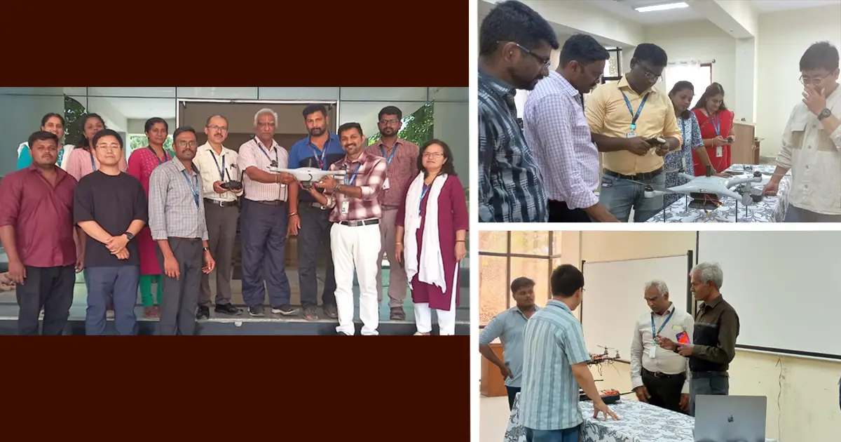
Bengaluru, 23rd April 2026: The Department of Civil Engineering at JAIN (Deemed-to-be University) organised a seven-day hands-on workshop on “Advanced Drone Surveying and Geospatial Analytics for Teaching Applications and Research Integration” at the Faculty of Engineering and Technology, bringing together 16 faculty members for an intensive training programme focused on emerging UAV technologies.
Designed to strengthen academic delivery and research capability, the workshop began with an introduction to unmanned aerial vehicles (UAVs), covering flight dynamics, civil engineering applications, regulatory guidelines, and the role of drone technology in enhancing teaching and research practices. This foundation set the stage for progressively advanced, application-oriented learning across the week.
Participants were introduced to UAV mission planning on the second day, where they worked on KML preparation, flight planning, and pre-flight and post-flight procedures. This was followed by hands-on training with trainer drones, enabling faculty to understand core components, calibration techniques, and basic flight operations through direct experience.
As the programme advanced, participants transitioned to professional-grade drone systems. These sessions focused on real-time data acquisition, mapping workflows, and operational techniques used in field-based surveying. Case-based demonstrations further illustrated how UAV systems are applied in infrastructure projects and surveying environments.
A key academic highlight of the workshop was the session on photogrammetry and geospatial analytics. Faculty members processed UAV-collected data to generate outputs such as orthomosaics and 3D models, gaining practical exposure to tools widely used in modern geospatial analysis.
The final day focused on pedagogy and research integration, exploring how UAV and geospatial technologies can be embedded into teaching methodologies and academic research. The workshop concluded with interactive discussions, feedback, and assessments, reinforcing the learning outcomes achieved throughout the programme.
Overall, the workshop equipped faculty members with hands-on expertise in drone surveying, photogrammetry, and geospatial analytics. It also strengthened their ability to translate these technologies into classroom instruction and research applications, supporting the department’s continued emphasis on industry-aligned academic innovation.